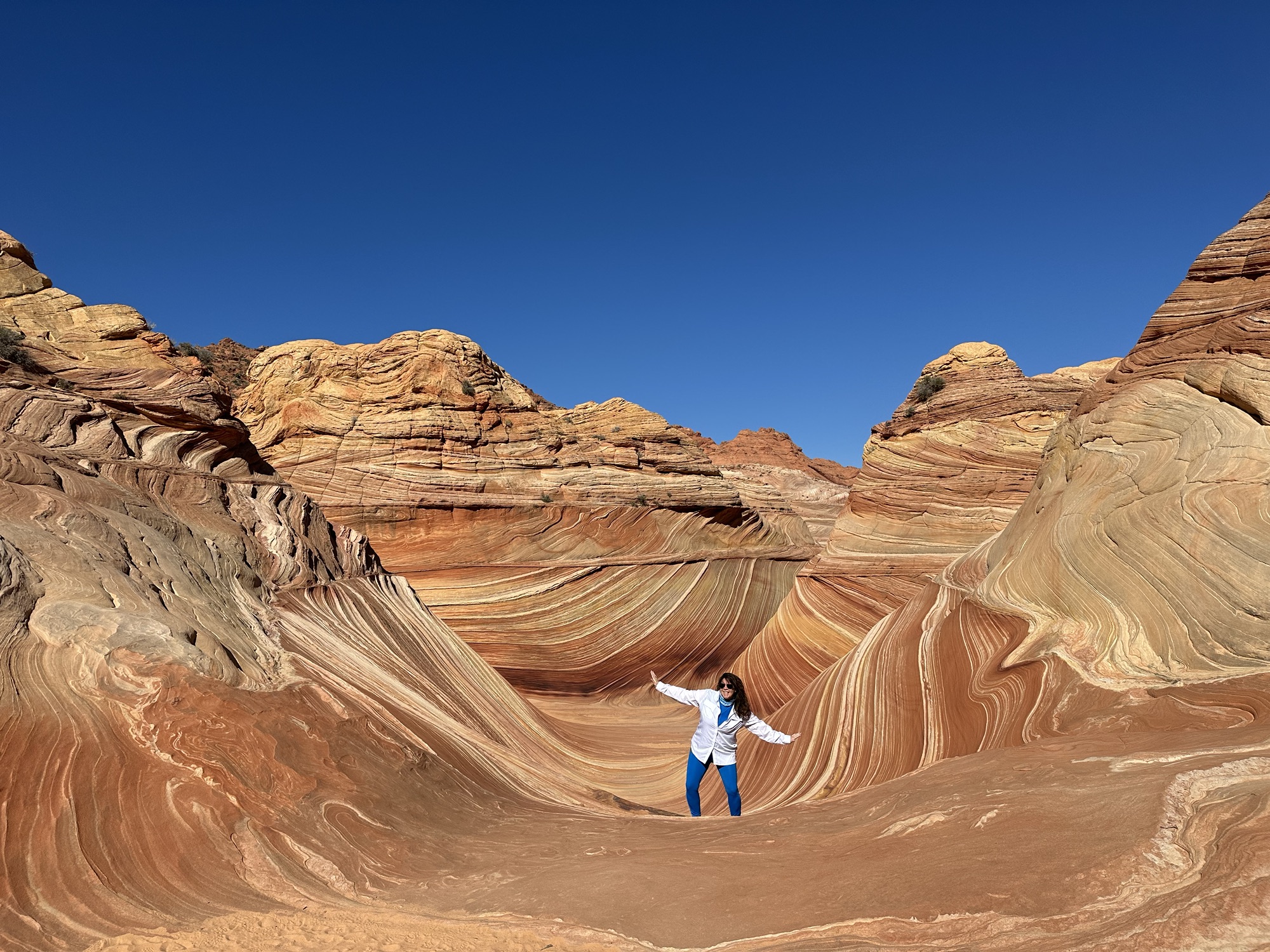
Author’s Note: We hiked The Wave in October 2023, exactly a year ago today! Yes, it has taken me that long to hit the Publish button on this blog – it’s been busy! Some parts have more detail than others based on what I can recall or the notes I remembered to take. Most of this post was written with the intent of being shared soon after our trip. What is not conveyed is how meaningful it was to me since it was my last childless adventure! Not shown in the snaps below were the many IVF shots and pills I was taking on the trail at very specific times so that we could have a successful embryo transfer two weeks later. I hope to share this epic journey with my daughter someday and show her, “Hey, mom used to be cool!” But really, I do hope to pass on my love for travel, adventure, pushing the limits and teach her that she can be adventurous and wear cute outfits 🙂 Enjoy!
Sometimes, the stars align, and you get the opportunity to do something really cool. When that happens, say, “Yes!” and work out the details later! That is the case for this [probably] once-in-a-lifetime opportunity to hike “The Wave.” If you are unfamiliar with it, The Wave is a huge bucket list item for most hiking enthusiasts. Not because it’s a technical hike (because it’s not) but because of the breathtaking views and restrictive access. To hike The Wave, you must obtain a permit, and the only way to get one is through Coyote Butte’s Parks & Rec lottery system. And it truly is the luck of the draw! We met a couple who waited 8 years and someone else who got in on their first try. In our case, it had been almost two years.
Getting There
A trip like this does require some pre-planning. And if you have known me for more than 5 minutes, you know I am the trip planner of my friend group and family. In this case, I was traveling with three other trip planners, which, I will say, was quite a different experience for me (and nice!). We met once in person, each of us bringing a list of our top 5 things we wanted to do (outside of The Wave), and from there, we built out our itinerary for the 4-day trip. Luckily, we had a lot of duplicate requests that made planning the itinerary easier since we all were pretty much on the same page. I also think I have met my match (maybe a match made in Heaven for travel buddies) on the level of intensity of the packed plans. We were all in the mindset that we would sleep on the way home!
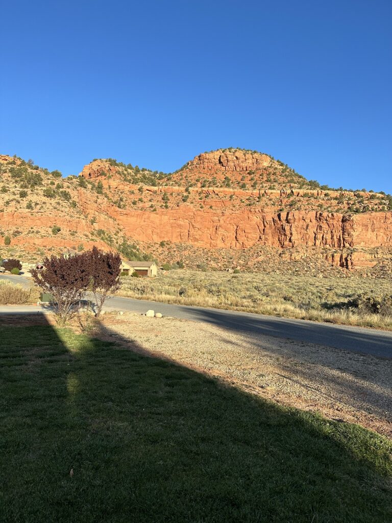
From Birmingham, Alabama, we (myself and three girlfriends) flew directly to Las Vegas and rented a four-wheel drive vehicle (needed to access The Wave’s trailhead if the weather is bad). We drove about three hours to the adorable town of Kanab, UT (it could also be in Arizona… honestly, that part was really confusing, and I still don’t know where we were!). We arrived after dark, so it was a pretty amazing surprise when we got up the first morning to see the amazing views from our VRBO.
Day 1: Horseshoe Bend, Antelope Canyon and Zion National Park
Horseshoe Bend
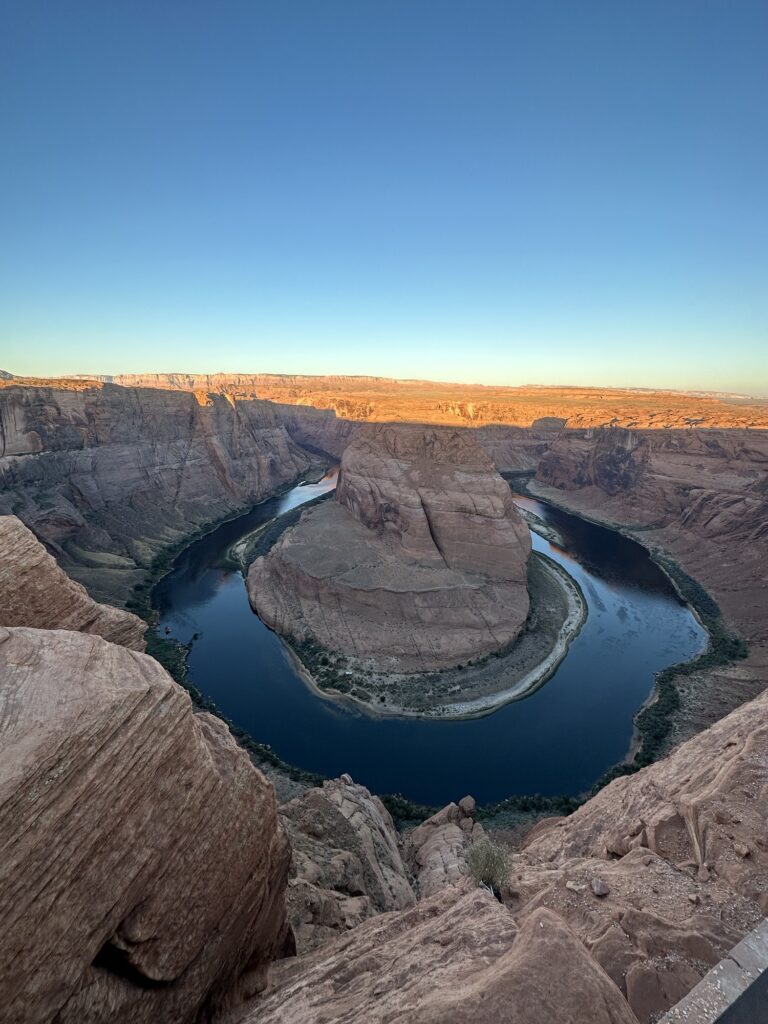
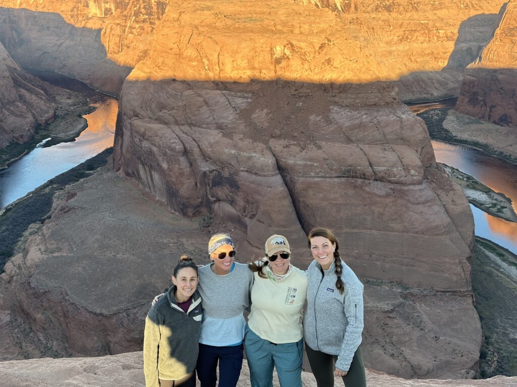
Yep, you read that right! Day 1, we were road warriors! We had pre-booked a tour of Lower Antelope Canyon for 9 am, and since we were 1.5 hours away, we were out the door at 6 am! The original plan was to do the tour and then check out Horseshoe Bend… Cue the foreshadowing line, “I still don’t know where we were!” There are three time zones between Arizona and Utah, and it really never made sense to any of us. It felt like we never knew what time it was. Some parts of AZ recognize daylight savings, and some do not (like the reservations). Hot Tip: If you are going to Antelope Canyon from anywhere, set your phone on Phoenix time, and that should work! Long story short, we got to Page, AZ, really early, which turned out great because we were able to go to Horseshoe Bend at sunrise, right when the park opened up.
Lower Antelope Canyon
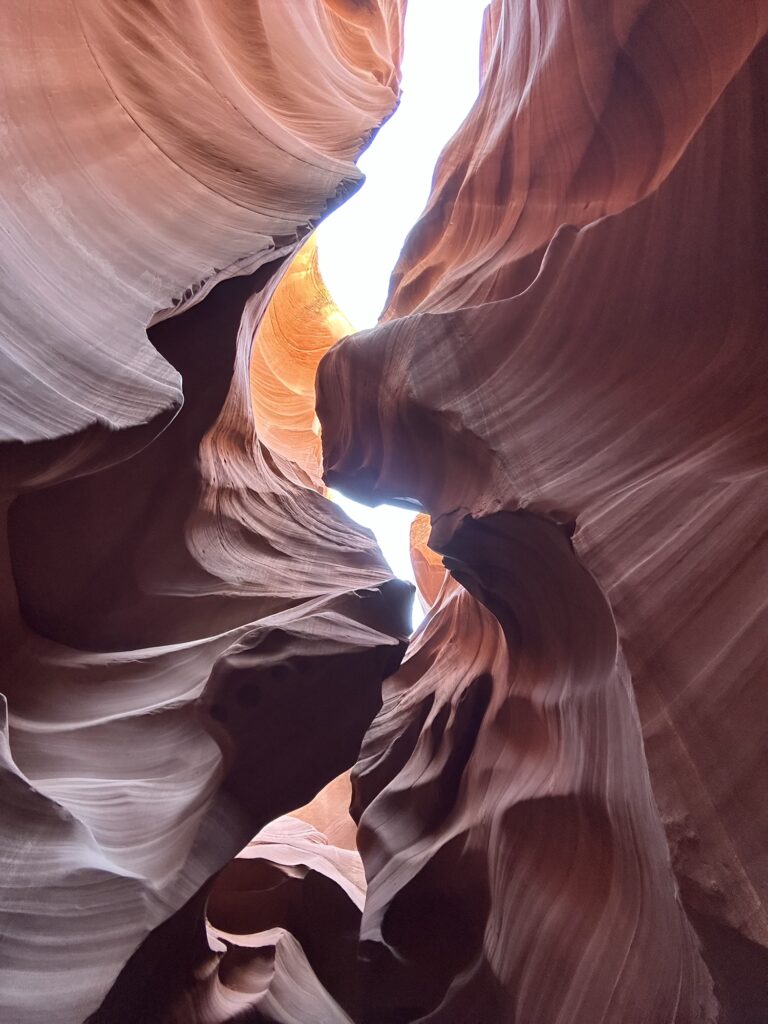
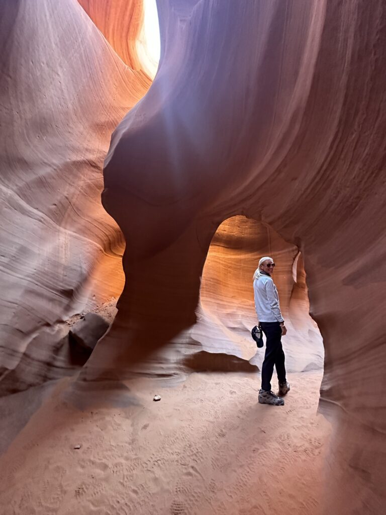
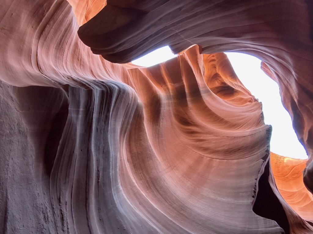
There is an Upper and Lower Canyon. We read a lot of reviews on each. While there was an option to do both, that would have taken up most of the day, and we had to get to Zion National Park later that afternoon to pick up the 5th member of our group. We ended up selecting the Lower Canyon, which was awesome! The entrance is right next to the visitor center (Upper Canyon; you have to take a vehicle to get there). The canyon was neat, with lots of cool rock formations. Our tour guide was a bit disappointing as we were expecting to get a bit more information about the canyon, the history of the area, etc. Our guide treated us like herding cattle. However, we did learn a fun fact: when the canyon fills up with water after heavy rain, they have to pump the water out and then refill the bottom with sand.
Zion National Park
After exploring Lower Antelope Canyon, we drove about 2 hours to Zion National Park. We entered the park at the East Entrance, hoping we could find a spot to park on our own, but no luck. So we drove down to the South Entrance, parked our car, and took the shuttle to the Upper Emerald Pools stop. The free shuttle is honestly the best way to go. Not only is parking limited, but the road is very narrow and kind of scary. It’s a hop-on-hop-off kind of thing to take visitors to different hiking trails in the park.
What I loved most about Zion is the diversity of the terrain and trails. You could spend a week at this park and still not see it all! I definitely want to go back and hike The Narrows and Angel’s Landing with my family (which now requires a permit).
Given the short amount of time that we had to hike, we picked the Emerald Pools Trail because it was a good warm-up for the legs, and we had high hopes for a waterfall. Oh, I forgot to mention… when we were at Antelope Canyon, I discovered that the soles of my boots were dry-rotted, so I picked up sand with every step. This continued and worsened at Zion, especially with a rockier terrain. This looks like a rookie mistake – but I promise I hiked in these boots twice before leaving and never noticed an issue. Ugh! Sadly, I forgot to take a picture to show the situation’s absurdity, haha.
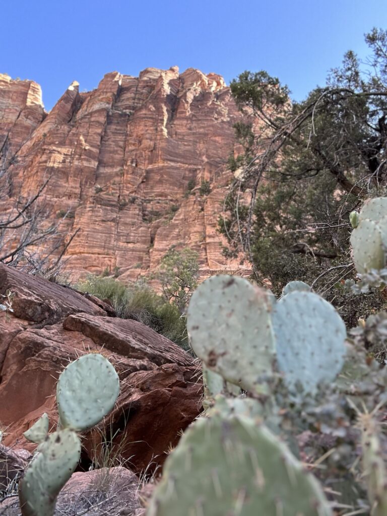
Unfortunately (and fortunately), we were ahead of the rain on this trip, so our desires were a bit thwarted when we got to the “waterfall.” But it was a pretty hike nonetheless, with gorgeous views. Then we tried to hike down to the Lower Emerald Pools but could not quite get there because the trail had been hit with a rock slide and was impassable. On our way back, we saw a tarantula, which was quite the scream for us all! But I made sure to hang back and get a photo. Yes, I know, not all heroes wear proper hiking boots! 😉
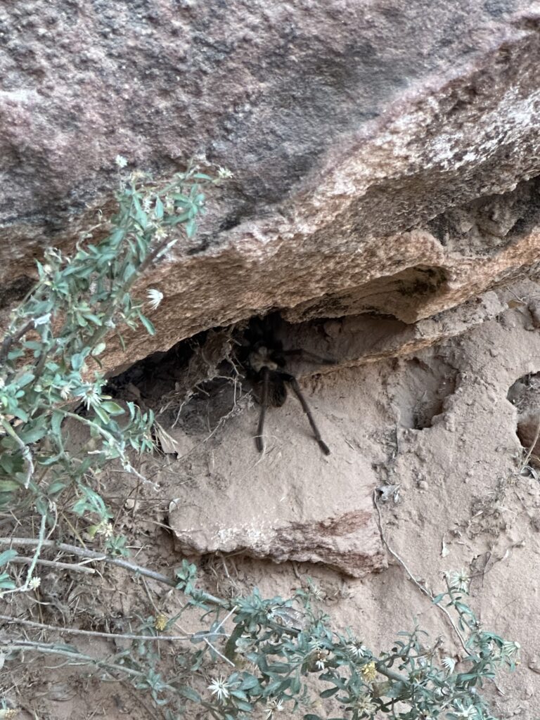
She high-tailed out of there, and I got out my camera!
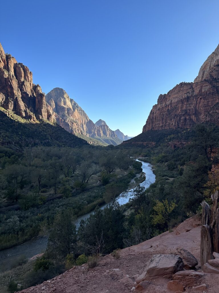
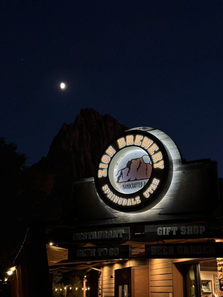
When we returned to the Visitor Center, our first business was shopping (i.e., picking up souvenirs and new hiking boots for me). I ended up getting Teva low-rise hikers, and they turned out great! Very comfortable, grippy (which I definitely needed the rest of the trip), and luckily no blisters! Then we met up with Meg’s pal Graham, an actual trekking guide. Graham has been lucky to have hiked The Wave twice, so we were excited to have his expertise on the trail with us the next day! After a few beers at Zion Brewery and dinner in town, we drove back to Kanab (another hour+ drive), getting us home around 9:30. We were all pretty beat and went to bed right away because the next morning, it was time to catch a wave!
Day 2: The Wave
OMG OMG OMG! We are FINALLY going to The Wave! It was a short drive from our place to the trail entrance, but when we read about needing a 4×4 vehicle, they were NOT kidding! And thank goodness again for good weather because the road could have easily been washed out. Note that if that happens, you are SOL. You cannot reschedule your hike for another day… you have to reenter the lottery and hope for better luck next time! Can you imagine how disappointing that would be?!
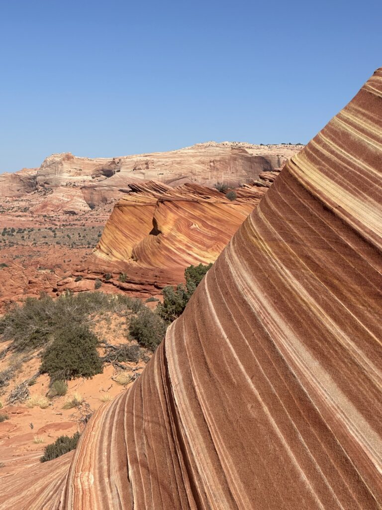
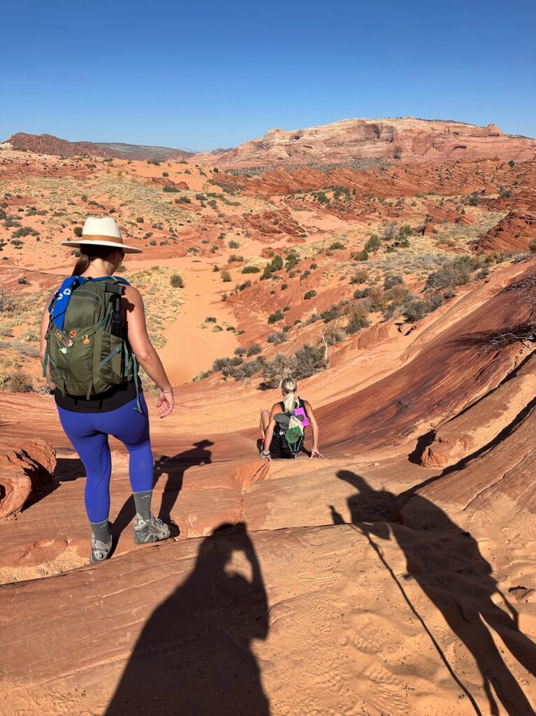
We got to the trailhead around 9 am, thinking that it would be more crowded, with people wanting to get there super early. The hike-in was just incredible! It honestly looked like CGI or a painted backdrop. I have been to a lot of places and seen a lot of things, but I have not seen views like this!
The “map” you receive when you get your permit is an interesting one. It mainly gives you landmarks to look for, like “look for the rock with a large crack in it” and stay to the right of the “lady lumps.” Since we had Graham with us, we didn’t spend much time minding the map and just followed him (however, in hindsight, I think we could have made it on our own, but with many more questions, checking, and double-checking). It was pretty nice being a “hiking princess” on this trip!
The hike starts off with rolling hills containing low green ground coverage. It’s only about a 3-mile hike to The Wave (6 miles in total + wherever else you venture when you get there), but with little shade opportunities, you definitely want to make sure you bring enough water. We were very lucky going this time of year as the temps were mild. The green shrubs and trees quickly faded, entering the hard sandstone terrain. I am thankful I had new boots. There were some steep parts that my broken boots would have given me a lot of trouble!
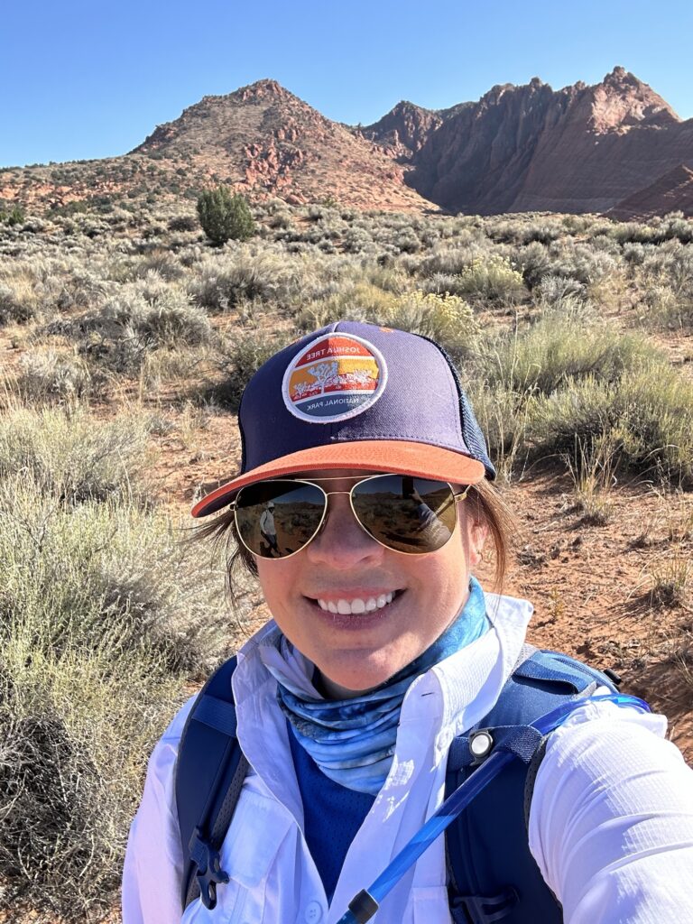
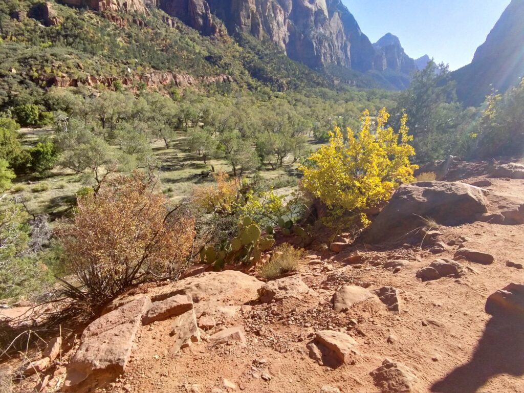
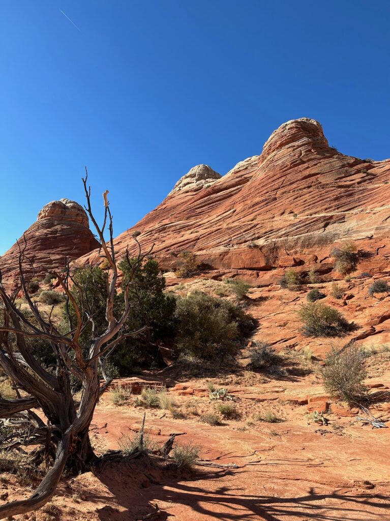
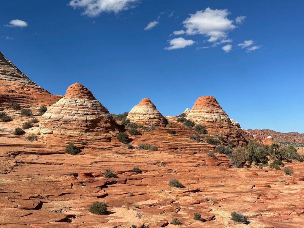
And then, almost out of nowhere, we turned a corner and saw these magnificent mounds, signifying the outer facade of The Wave. We were not prepared for the thick sand that we had to march through – it was quite the calf workout! As we entered the basin of the wave, we were speechless. It looks just like the pictures but better!
We spent about 3.5 hours there, roaming around and taking a million pictures. And, yes, we brought a change of clothes to get our “Instagram pics!” Someone asked us if we were influencers… obviously! Also, for those wondering if a permit is necessary? YES! There was a ranger out there checking permits and IDs.

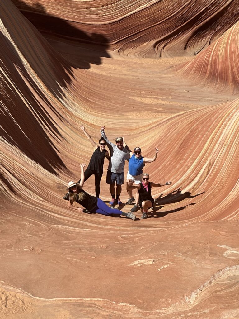
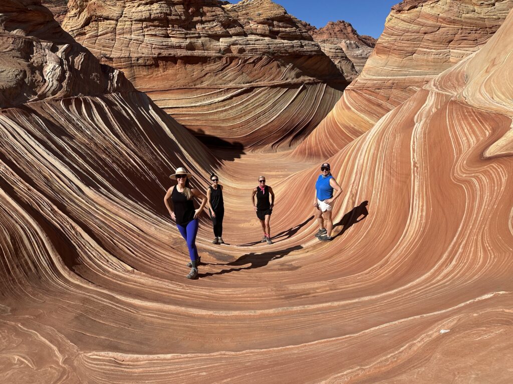
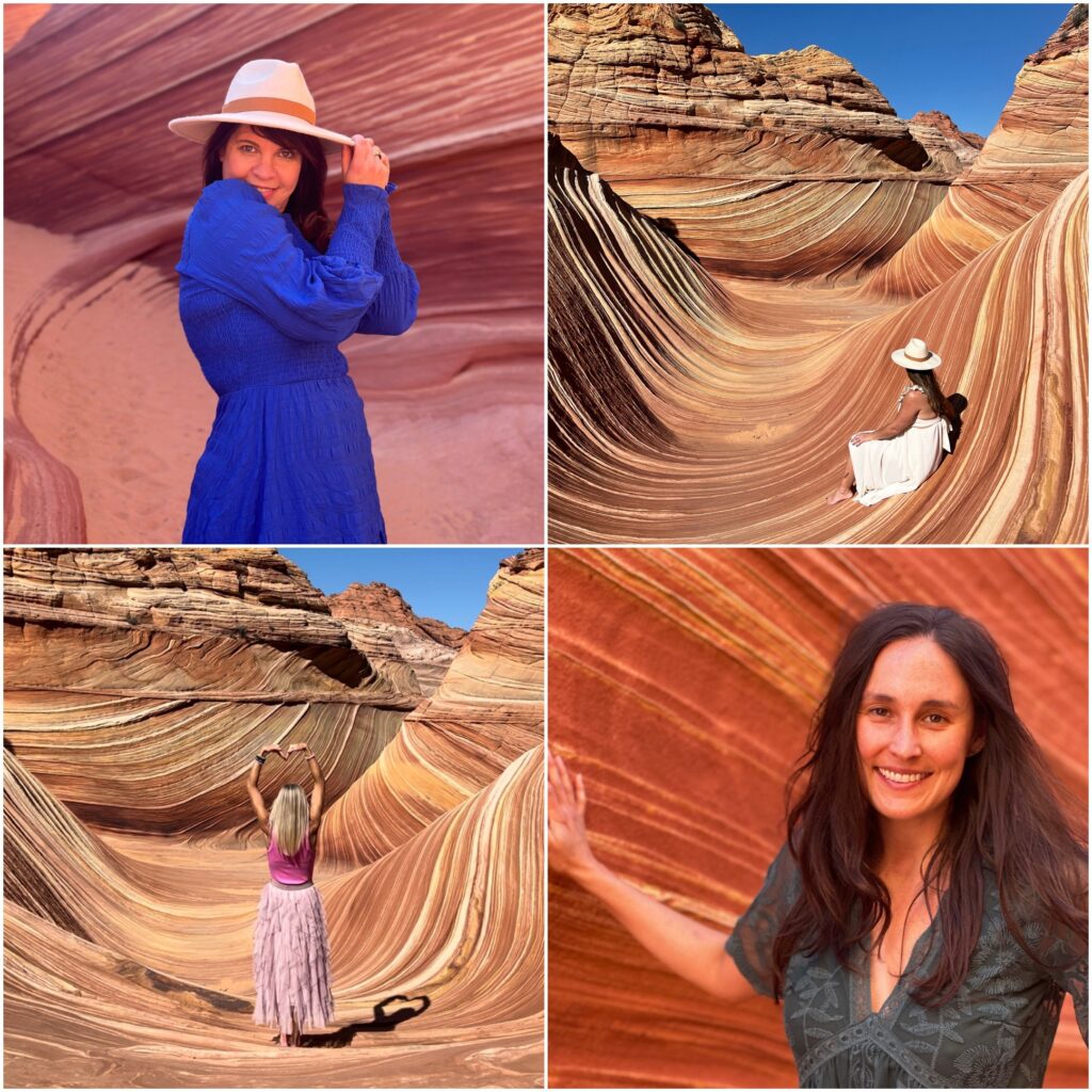
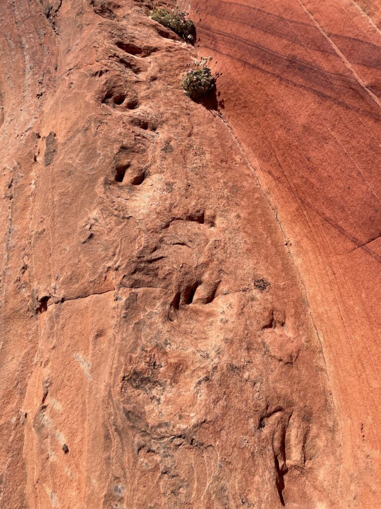
We went the same route on the return, but it’s like seeing a whole new place when you do it in reverse. The most remarkable thing was finding the dinosaur tracks! The coordinates are 37, -112… in case you go!
Day 4: Bryce Canyon National ParWe
The following day, we drove about an hour and a half to Bryce Canyon National Park. We had another day of gorgeous weather, and the pictures were stunning, even with just an iPhone. Bryce Canyon is known for having the largest concentration of hoodoos (irregular rock formations caused by erosion) compared to any other place in the world. We hiked the Queen’s/Navajo Combo Loop, entering the park at the Sunset Point. This starts you at the top of the canyon, which is about 8,000 in elevation. Taking the Navajo Trail, you follow the switchbacks down to the amphitheater through the hoodoos, a corridor of Douglas-Firs and limestone walls. It was so cool to see all the different rock formations, many of which favored phallic shapes, which prompted many very mature comments, haha. Once at the bottom, we hiked through Queen’s Garden and took the secondary staircase of switchbacks up to Sunrise Point.
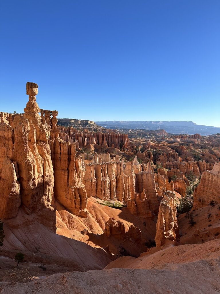
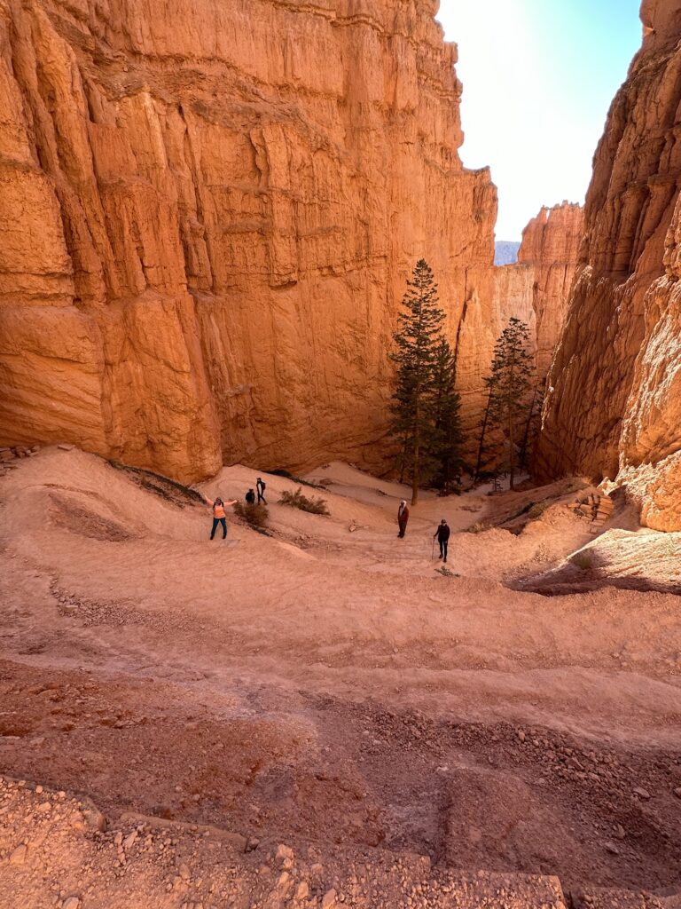
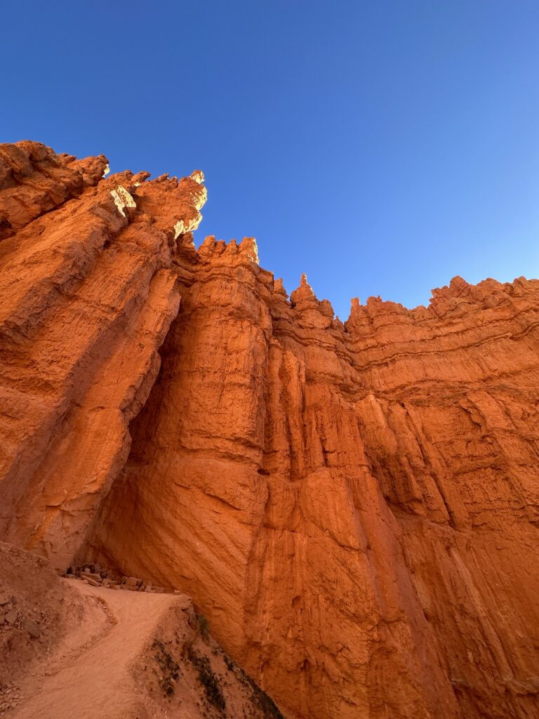
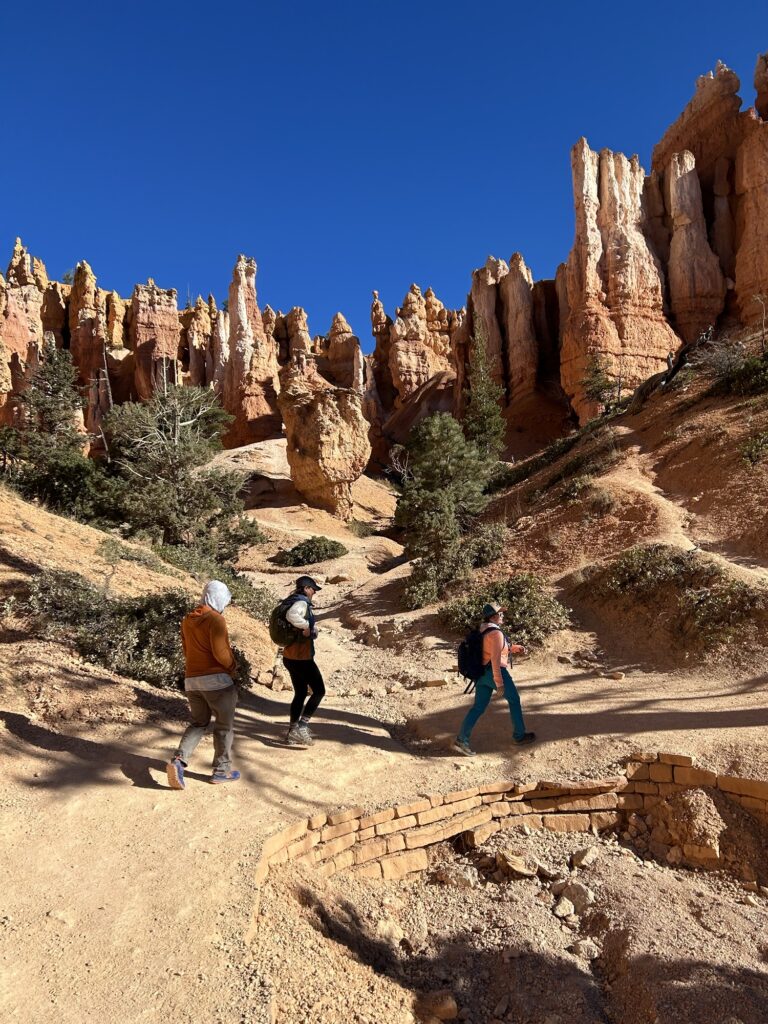
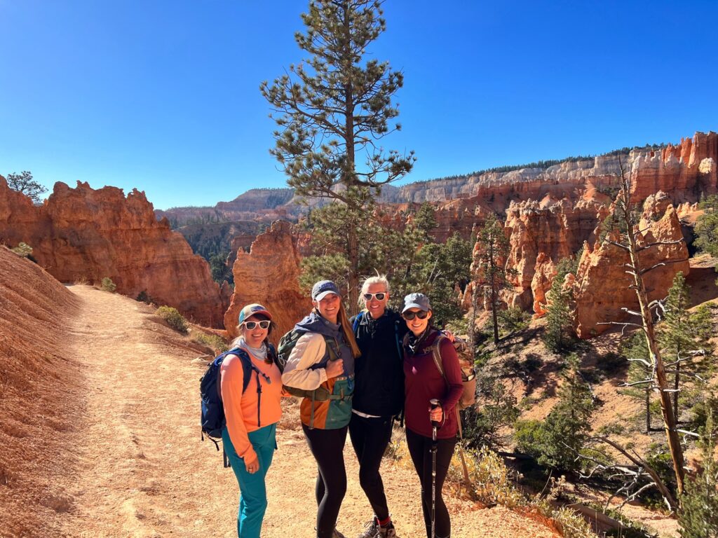
This is one of my favorite national parks because it is just so different and, honestly, feels like another planet! This is also pretty family-friendly, and you can do it in an hour or a day – depending on what you are looking to do.
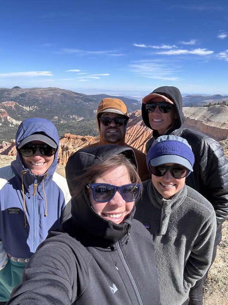
We left the park wearing t-shirts only to find another little trail about 30 minutes down the road that went up to 10,000 feet, where we were layering on our fleeces and gloves!
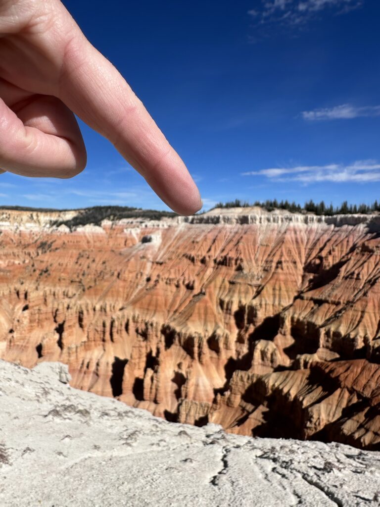
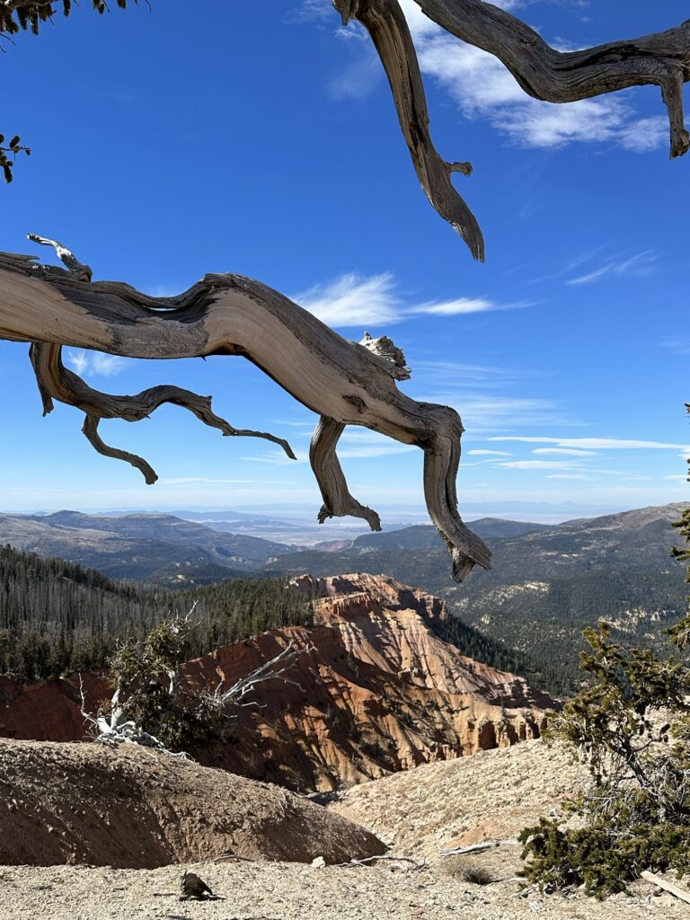
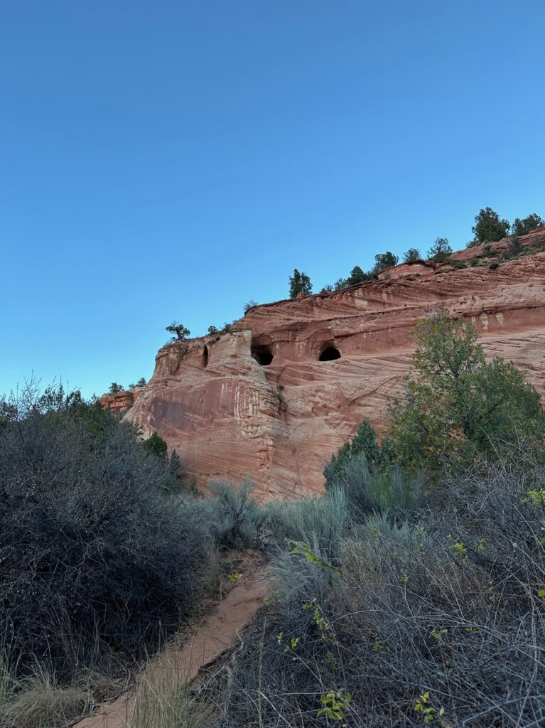
The last little adventure of the trip was to explore the sandstone caves in Kanab that we had passed a dozen times over the last 4 days. They were cool, but it was disappointing to see all the graffiti.
So, 10/10 recommend The Wave, and if you don’t get a permit, it’s still a 10/10 to check out this part of the country, the national parks, and the roads/trails less traveled. I also love it when I can squeeze in more than one NP in a single trip… gotta complete my Let’s Wander waterbottle #priorities. And if you are not familiar with trail life, it is customary to have a “trail name.” So, a BIG thank you to Melissa Long Legs, Mighty Mouse, Middleton, and “Just Graham” for making this the most memorable trip! Lastly, always remember, when visiting one of our amazing NPs, “leave no trace.”
